How to upskill using AI
12 Jun, 2025


The UK is set to have the worlds biggest automated drone superhighway. And although this sou...

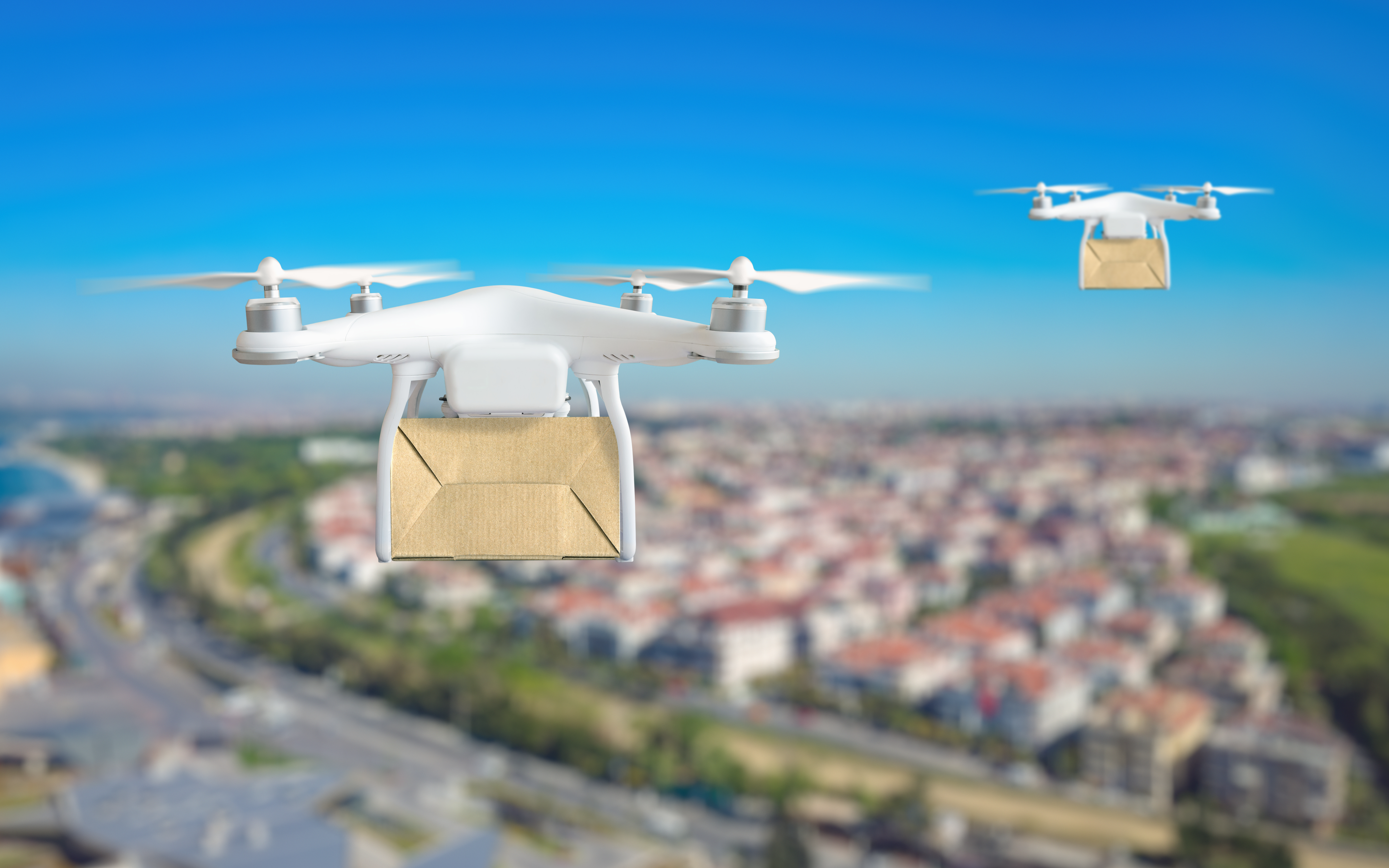
The UK is set to have the worlds biggest automated drone superhighway. And although this sounds like stuff you read in science fiction, it has been approved for development and will be beginning construction over the next two years. It will potentially range from Southampton all the way up to Coventry, connecting towns and cities in the South, including the home of our HQ, Reading!

The 165 mile long superhighway, was approved by the Government today, being labelled ‘Project Skyway’. The plans were proposed by software providers, ‘Altitude Angel’ and BT [ii]. For the skyway to function it will utilise ground-based sensors, including 29 ‘Arrow Towers’ as well as existing infrastructure such as phone masts. These will act as a guide for connected drones, enabling them to navigate safely to their destination.

As part of a £273m funding package for the aerospace sector, there are hopes it will unlock the use of unmanned, environmentally considerate aerial vehicles. The social and economic potential will open up many possibilities from business logistics to the police and healthcare providers. Even allowing sick, vulnerable people to remain in the comfort of their home by being able to deliver vaccines, medicine and even gather samples. Other projects could include delivering mail to the isles of Scilly and medicine across Scotland.
Richard Parker, the CEO and founder of Altitude Angel spoke about scaling up trials that have been taking place in the UK; “Skyway can revolutionise the way we transport goods and travel in a way not experienced since the advent of the railways did in the 18th century: the last 'transport revolution’.” [i]
Naturally, with anything new and innovative, there were concerns for safety and potential crashes. However working alongside the Civil Aviation Authority to ensure safety, the ground based-sensors provide a real-time view of where the drones are. This data is analysed by a traffic management system - think air traffic control for drones - guiding the drones, helping them to avoid collisions. They may even lower the deliveries down from the air to make sure the drone doesn’t collide with anything on descent.
We are really excited about this project and can’t wait to see the developments happen, especially for those of us working here in Reading - pizza delivery on the rooftop anyone?
Sources:
[ii] https://www.bbc.co.uk/news/technology-62177614